A little while ago a group from Olliers spent a day in the Peak District as part of our Wellness programme, which encourages colleagues to engage in non-lawyer activities.
The Peak District divides into two halves; the northern half, known locally as the “Dark Peak”, is an area of gritstone edges, and high heather moorland, the home of free-roaming sheep, curlew and soon-to-be-shot red grouse.
The village of Castleton sits at the divide where the Dark Peak ends and the “White Peak”, begins. From there southwards the landscape is gentler. It’s a land of trout streams and ancient drystone-walled fields. Over the millennia the rivers have carved through the soft limestone leaving steep-sided valleys, some of which are dry of water in summer.
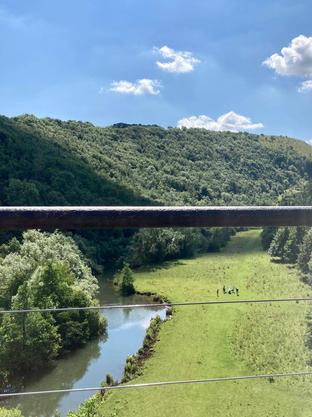
So it was, on the hottest day of the year so far, armed with bottles of water and suncream , we met up at Monsal Head, a well-known beauty spot a few miles east of Buxton. It is popular for good reason – it overlooks the dale through which runs the River Wye . The view looking up the valley is stunning. In addition to the beauty of the river, the impressive Monsal Head viaduct stands high over the valley floor, built to carry the long defunct Midland Railway, now part of a traffic-free cycle and walking route, the Monsal Trail.
From the viewpoint at Monsal Head, we made our way down through woodland to the viaduct – which spans the valley at half height – crossed the same , and then wandered along the trackway for a while before leaving the cyclists behind by coming off the Trail and dropping down onto the valley floor.
Once in the valley bottom, we had the place almost to ourselves. Crossing the river via a footbridge, we followed the gently-flowing river upstream.
Above the hamlet of Cressbrook the river widens, as a result I think, of the weirs built to harness the water’s energy for use by the rather grand 18th Century cotton mill (it now houses smart apartments) which stands there.
Continuing upstream, the wooded dale is known as “Water-cum-Jolly”; the path is at river-level and is often flooded. The river is wide and shallow; we saw brown and rainbow trout resting in the shady pools, swans on the banks and coots dabbling. It’s also a sanctuary for the much-endangered water vole. From here and on up through Miller’s Dale the valley sides feature sheer, in some places overhanging, limestone rock walls, cut by the force of water long ago. Fortunately the woodland continues and so the path is shaded.
 Re-crossing the river at Litton Mill via another footbridge we now faced the only arduous climb of the day – out of the valley bottom and steeply up through predominantly hazel woodland to the rounded hilltop which sits to the south of the river valley, so that we could return to our starting point via a circular route. Unlike the hills of the Dark Peak which are untamed moorland, White Peak hilltops are farmland comprising small fields enclosed by dry-stone walls.
It was at the edge of one of those fields, under a shady hawthorn, that we sat down to eat a well-earned snack, only to decamp immediately when a herd of too-inquisitive bullocks sauntered over to inspect us. They appeared menacing.
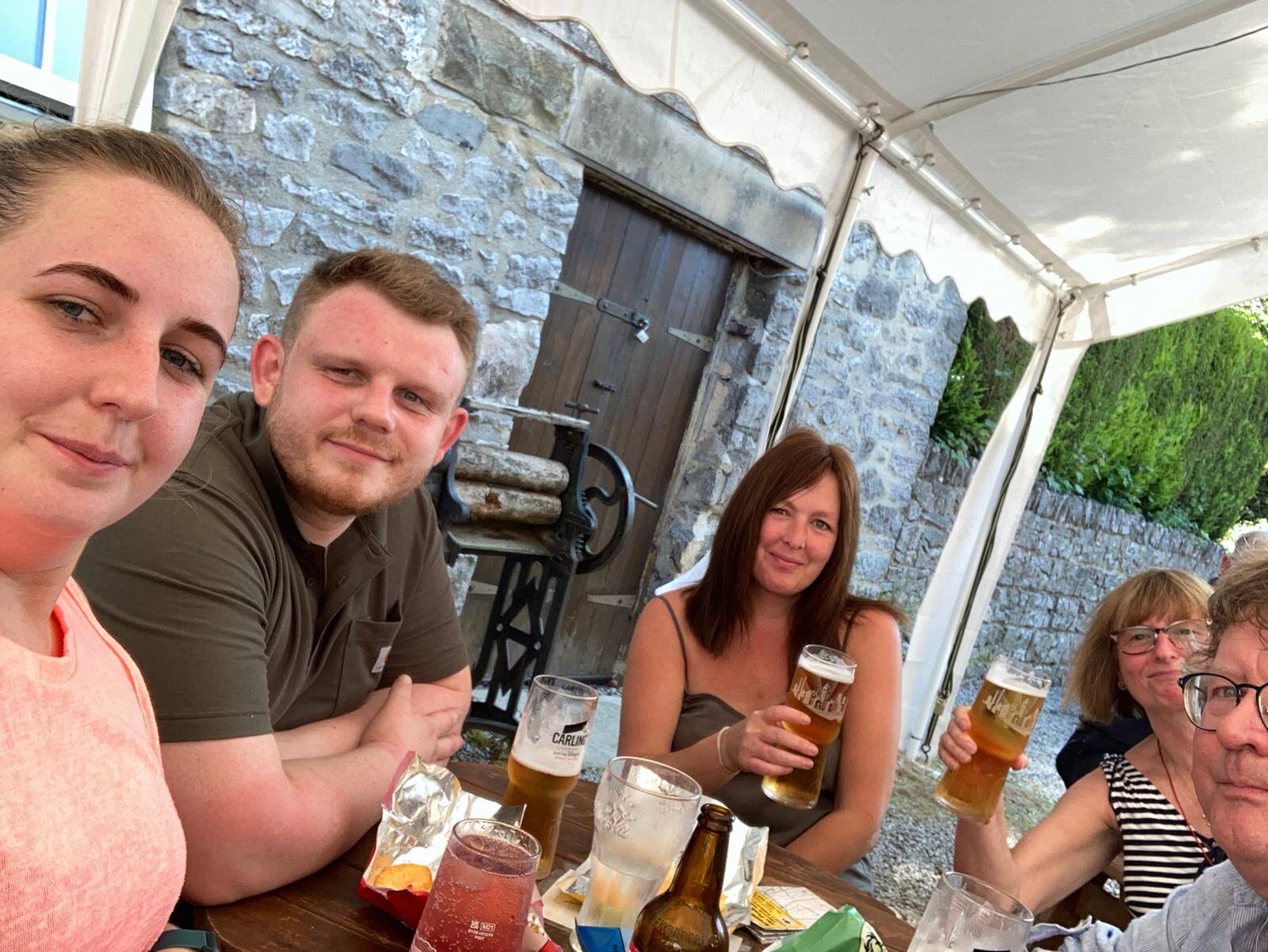
Once safe from the risk of bovine attack we ate a sandwich and then returned along dusty farm tracks under a blazing sun (how often can you say that in this country?) to our starting point which happened to feature a very pleasant pub. Wellness improved.

- About the Author
- Latest Posts
Olliers is one of the UK’s leading criminal defence and regulatory law firms, specialising in the defence of individuals, businesses, and other organisations across a broad range of corporate and financial crime, regulatory offences, serious crime and sexual offences. We act in professional discipline matters. We use the same skillset to represent individuals and organisations facing criticism before inquests and public inquires.